


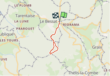
Le Bessat

psesjs
User

Length
8.4 km

Max alt
1306 m

Uphill gradient
164 m
Km-Effort
10.6 km

Min alt
1199 m

Downhill gradient
164 m
Boucle
Yes
Creation date :
2020-12-27 09:04:13.688
Updated on :
2020-12-27 11:05:50.392
1h20
Difficulty : Very easy

FREE GPS app for hiking
 SityTrail
IGN / Geographical institutes
SityTrail Plus
The world is yours!
About
Trail Cross-country skiing of 8.4 km to be discovered at Auvergne-Rhône-Alpes, Loire, Le Bessat. This trail is proposed by psesjs.
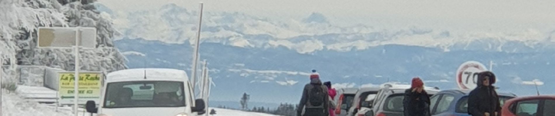
Photos

Positioning
Country:
France
Region :
Auvergne-Rhône-Alpes
Department/Province :
Loire
Municipality :
Le Bessat
Location:
Unknown
Start:(Dec)
Start:(UTM)
619642 ; 5025008 (31T) N.
Comments